Access to Hard-to-Reach Locations Safely

UAVs Enhancing Visibility, Safety, and Efficiency in Utility Operations
Scalable UAV Tech for Grids, Pipelines, and Renewable Assets
Transforming Energy Inspections with Drone-Based Intelligence
Rapid inspection without shutting down operations
Transforming the energy and utility sector by providing real-time aerial insights that ensure safety, efficiency, and operational excellence. With our advanced drone technology, utility companies can seamlessly monitor power grids, inspect infrastructure, detect potential faults, and optimize maintenance — all from the sky.
Our drones are equipped with state-of-the-art sensors and AI-driven analytics, allowing for rapid decision-making, reduced downtime, and a more sustainable approach to asset management. Whether it’s high-voltage transmission lines or remote renewable energy sites, Divyania UAVs give you unparalleled access, reducing risks while improving the bottom line.
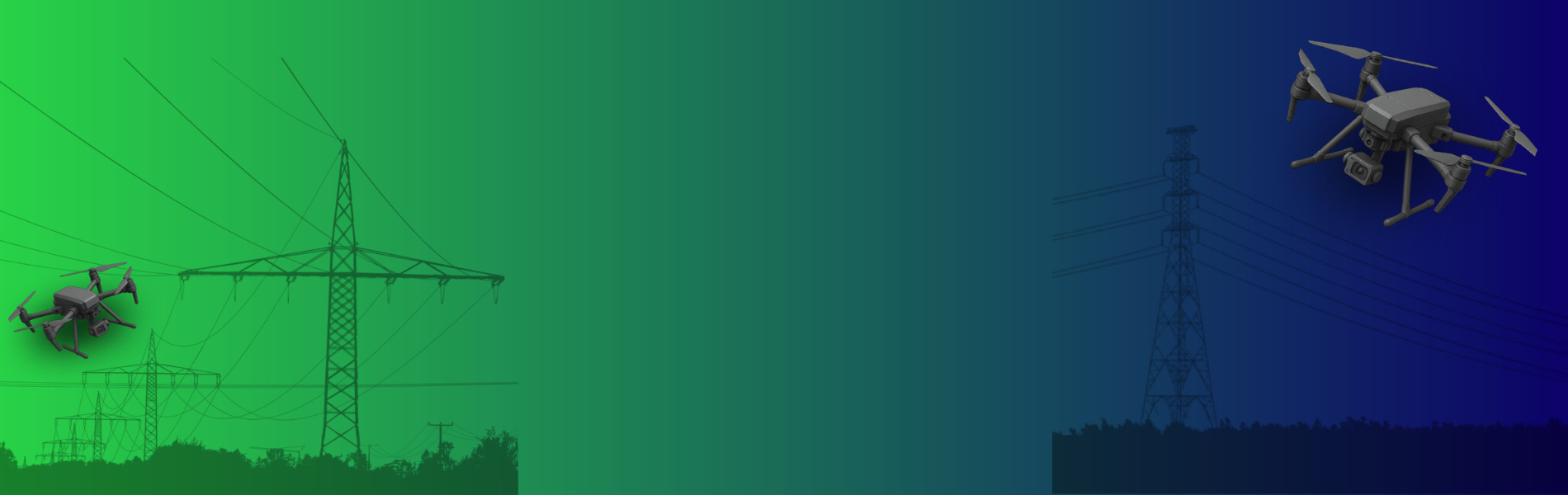
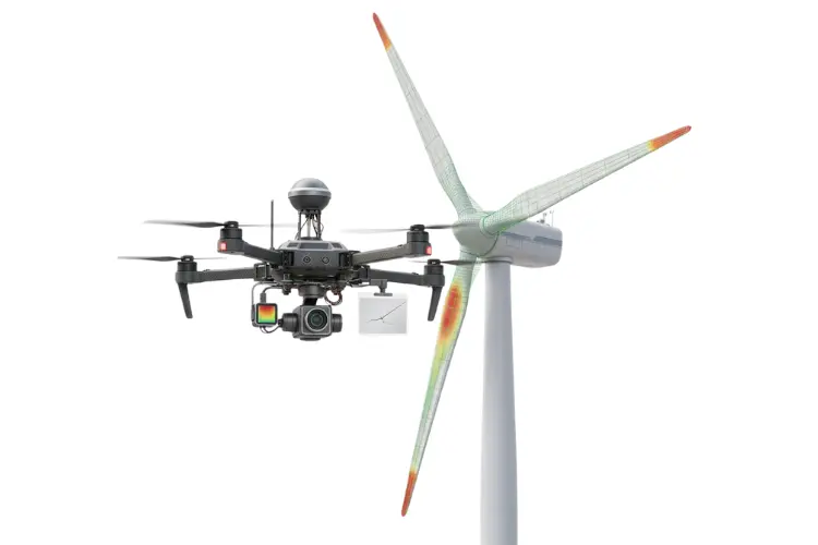
Power Line Inspections
leverage high-resolution electro-optical (EO) sensors and advanced thermal imaging to detect anomalies such as conductor hot spots, insulator damage, and vegetation encroachment. Equipped with 3-axis stabilized brushless gimbals, our drones ensure ultra-stable image capture even in turbulent conditions. Real-time data transmission over a 5km range enables live diagnostics, while GPS waypoint navigation allows for autonomous flight paths and repeatable inspection missions. Integration with AI-driven analytics platforms enhances fault detection accuracy, minimizes human error, and ensures predictive maintenance across transmission and distribution networks. The UAVs use LiDAR sensors to capture highly accurate, 360-degree 3D scans of power line corridors, mapping out terrain, vegetation, and infrastructure in high detail.
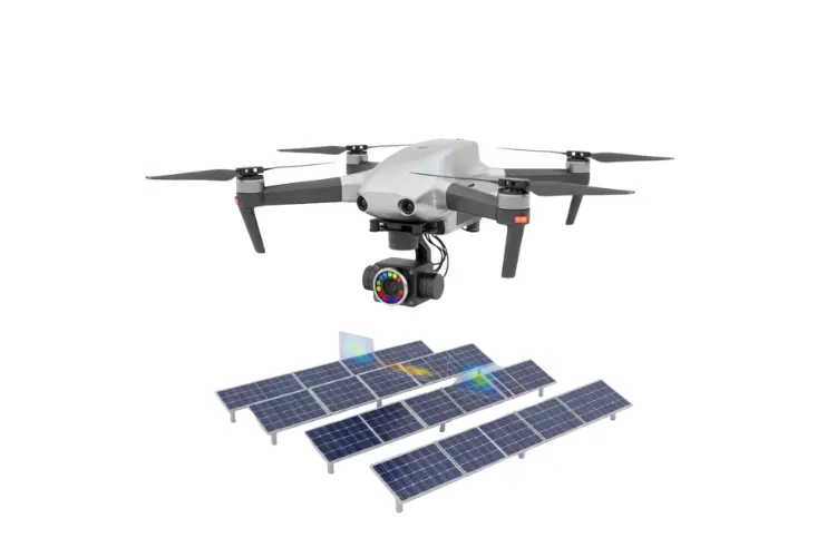
Integrated suite of multispectral imaging, infrared thermography, and LiDAR (Light Detection and Ranging) to enable precise, large-scale solar farm assessments. The UAVs are equipped with multispectral cameras that capture reflectance in specific spectral bands (such as near-infrared and red-edge) to evaluate solar cell performance by detecting efficiency losses caused by factors such as material degradation, hotspots, or microfractures in photovoltaic panels.
UAV system utilizes high-resolution optical sensors, thermal imaging, and AI-powered defect detection algorithms to perform precise, non-contact inspections of wind turbine blades, nacelles, and towers. The drones autonomously capture detailed imagery of leading/trailing edges, blade roots, and bond lines, detecting issues such as erosion, delamination, cracks, and surface pitting. Thermal sensors identify internal anomalies like overheating gearboxes or generator faults, while onboard LiDAR enables accurate structural mapping and clearance assessments.
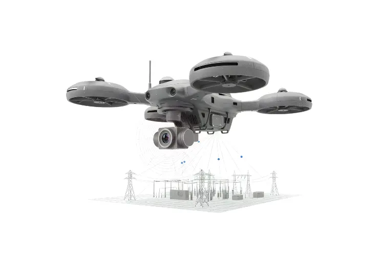
UAV-based surveillance system combines high-resolution EO/IR sensors, LiDAR, and GNSS-enabled flight control to deliver precise, autonomous monitoring of utility infrastructure. The drones capture real-time data on transmission towers, substations, and linear assets, identifying structural stress, thermal overloads, and environmental encroachments with centimeter-level accuracy. Edge processing units onboard enable low-latency object detection and threat classification, while cloud integration ensures seamless data transfer for post-mission analysis.
Reach Us